Documentation archive

Ecological situations under review

The archive below prioritises documented ecological pressure points in Nigeria, pairing each concise profile with intervention priorities, funding needs and evidence that communities and partners can use to advocate for timely environmental action. Every entry is built from field observation, local reporting and publicly available research, so the picture stays grounded in what is actually happening on the ground rather than in assumption. You can filter the cases by region to focus on the areas that matter most to your work, and open any profile for the full situation report, the supporting facts and the sources behind them. New situations are added as documentation is completed, while others remain marked in progress until the evidence has been verified — keeping the record both transparent and accountable.

Jos North environmental sanitation crisis

Plateau State

Critical

Jos North environmental sanitation crisis

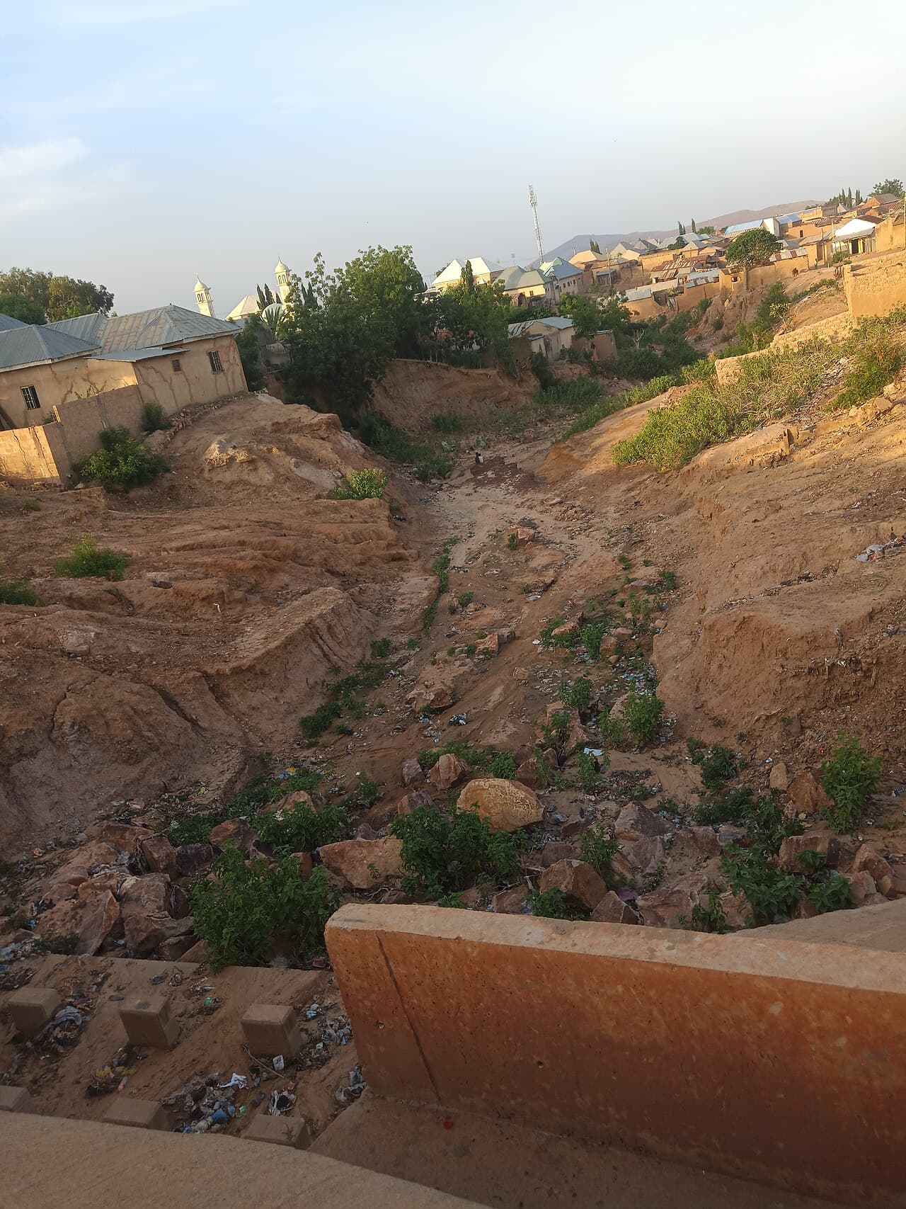
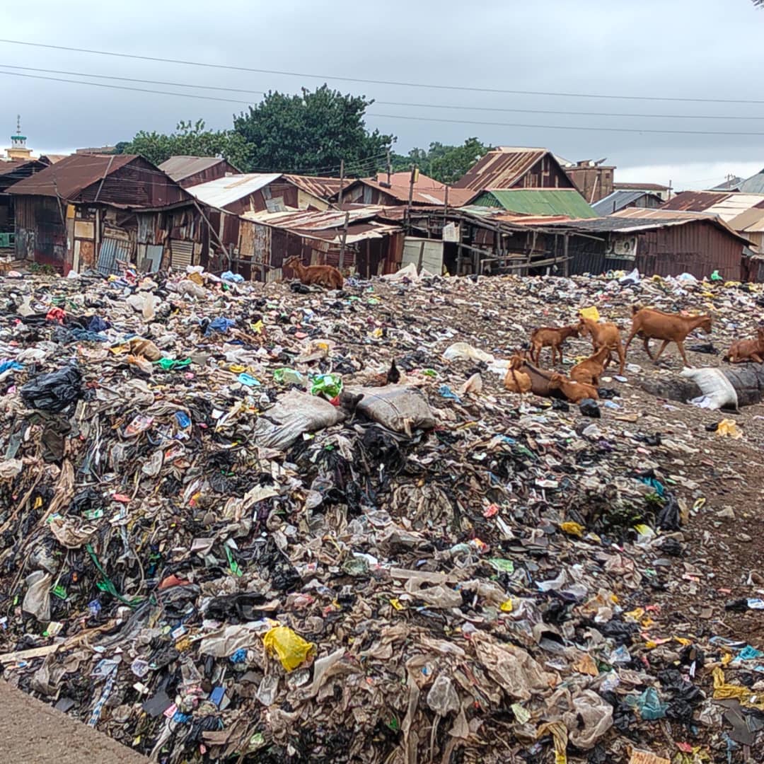
Open dumping, blocked drainages and poor sanitation compliance continue to raise public-health risks in Jos North communities including Congo-Russia, Filin Ball and Gwafan Estate. More than 83 open dumpsites have been identified in Gwafan Estate alone, while illegal kiosks and shops built over drainage channels leave stagnant water and trigger seasonal flooding. Open burning of refuse remains common, and weak participation in the monthly sanitation exercise means streets and drains stay dirty even where compounds are cleaned. These conditions helped make Jos North the worst-hit area during the 2026 cholera outbreak in Plateau State.

View profile
Tin mining legacy pollution, abandoned pits and heavy metal contamination

Plateau State

Critical

Tin mining legacy pollution, abandoned pits and heavy metal contamination

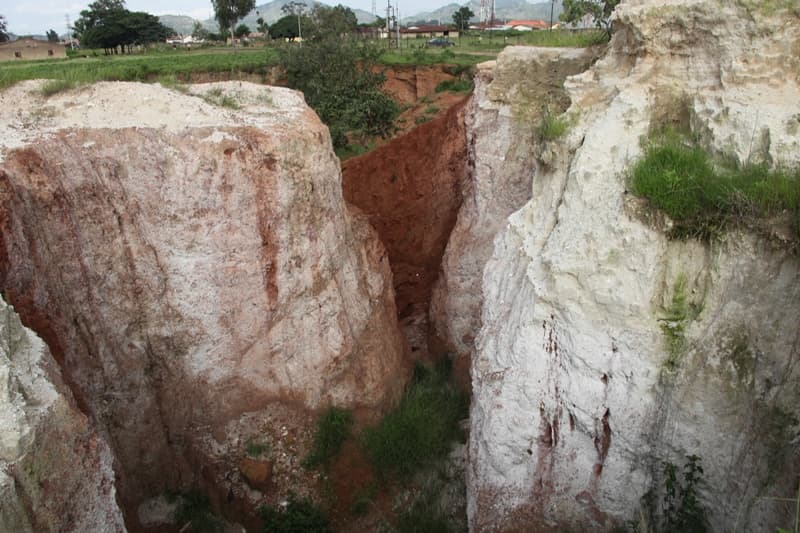
Decades of open-cast and artisanal tin mining on the Jos Plateau have left abandoned pits, contaminated soils and water bodies that continue to threaten farms, homes and children across Jos South and surrounding communities. Hundreds of abandoned pits and more than 1,000 water-filled ponds now cover roughly 17 km², creating drowning, collapse and contamination hazards. Soil studies report cadmium, lead, arsenic and selenium at levels above WHO guidelines, with the metals spreading into community soils and vegetables and raising the risk of child exposure. Ongoing artisanal mining keeps converting farmland into spoil heaps and open pits, deepening the region's long-term ecological and public-health burden.

View profile
Mining and quarrying encroachment on Shere Hills and tourist heritage sites

Plateau State

High

Mining and quarrying encroachment on Shere Hills and tourist heritage sites

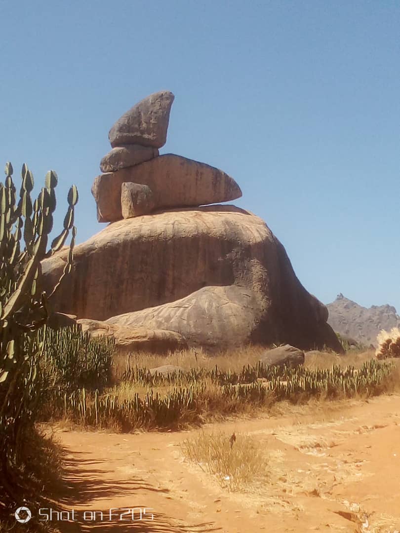
Quarrying and mining are cutting into the Shere Hills on the eastern edge of the Jos metropolis, scarring the highest landscape on the Jos Plateau and eroding a tourist and cultural heritage the state hopes to build its economy on. Rising to about 1,829 m, the range is the third highest point in Nigeria and a prime destination for hikers and climbers, yet excavators are now cutting directly into its rock faces and heavy blasting has replaced the birdsong residents once knew. The damage extends to other heritage formations, including the Gog and Magog 'sacred rocks' and Riyom Rock, where granite quarrying leaves permanent dust and eroded paths. Weekend tourism has collapsed alongside the damaged access roads, and the state tourism commissioner concluded on inspection that the operator could not have been fully approved for devastation on this scale.

View profile
Urban flooding and gully erosion across Jos North, Jos South and adjoining LGAs

Plateau State

Critical

Urban flooding and gully erosion across Jos North, Jos South and adjoining LGAs

Heavier climate-driven rains, blocked drainage and rapid urban expansion are combining to produce flash floods, submerged farmland, displacement and active gully erosion across Jos North, Jos South and surrounding local government areas. Major flood events in 2022 and 2024 damaged homes and displaced households in areas such as Angwan Rogo, Bauchi Road and Naraguta. PEPSA attributes much of the recurring flooding to drainage channels choked by indiscriminate waste disposal, while active gully erosion continues to eat into land around the metropolis. Inadequate urban drainage remains the central gap, and civil-society groups have questioned whether flood early-warning and preparedness are strong enough.

View profile
Plastic pollution and encroachment at the Liberty (Lamingo) Water Dam

Plateau State

High

Plastic pollution and encroachment at the Liberty (Lamingo) Water Dam

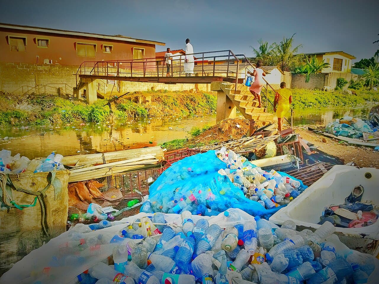
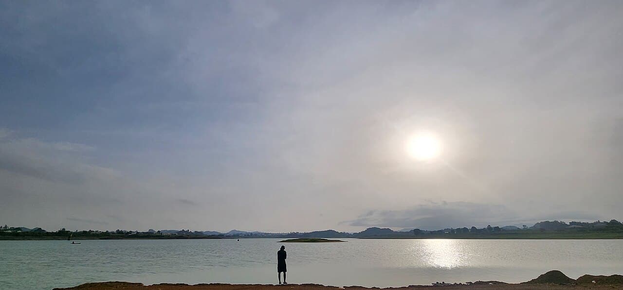
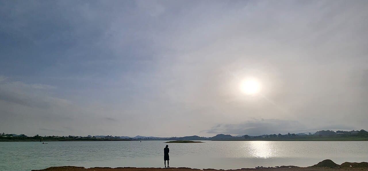
Plastic dumping, illegal mining and farming around the Liberty Water Dam at Lamingo in Jos are contaminating a raw-water source for the city and driving up the cost of treating water for the Jos Water Services Corporation. Because the reservoir feeds directly into the city's drinking-water supply, pollution here reaches households right across Jos. Accumulating plastic waste threatens both water quality and surrounding biodiversity, and the pressure is continuous – cleanups clear old waste, but fresh dumping and encroachment keep refilling the dam with plastic and sediment. Nearby hotspots such as the Jos Wildlife Park, Maiadiko Market and the Abattoir Market feed the problem and have been targeted in the same cleanup drives.

View profile
Desertification and sand encroachment across Yobe frontline communities

Yobe State

Critical

Desertification and sand encroachment across Yobe frontline communities

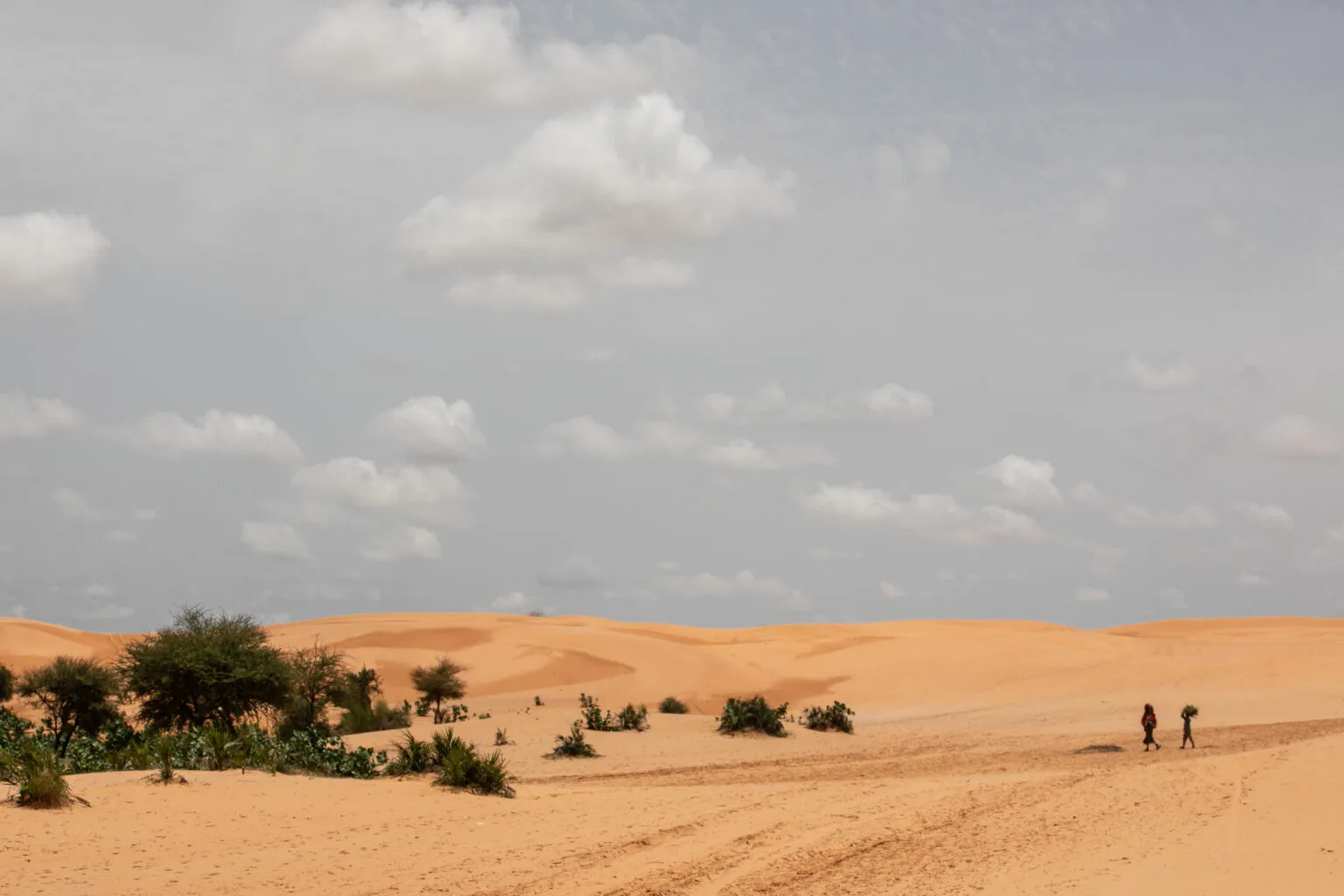
In the Sudano-Sahelian drylands of Yobe, advancing sand dunes on the northern flank and gully erosion in the south are stripping vegetation, burying farmland and oases, drying up water sources and pushing rural households deeper into food insecurity and displacement. Dunes are reported to advance by roughly 0.6 km each year, and satellite analysis shows tree cover falling from about 583 km² in 1975 to some 285 km² by 2013. Overgrazing – worsened by the yearly influx of herders from neighbouring Niger Republic, especially around Yusufari – strips soil cover and compacts the ground, making it easier for wind to spread sand. As farmland shrinks, harvests fall short, incomes drop and more households face hunger and pressure to relocate.

View profile
Desertification and deforestation pressure across Borno drylands

Borno State

Critical

Desertification and deforestation pressure across Borno drylands

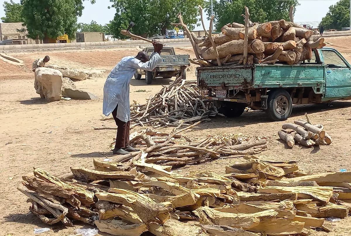
In Borno, the loss of vegetation that feeds both livestock and people is driven by climatic variability, deforestation, overgrazing and fuelwood extraction – all sharpened by insecurity that makes forests dangerous to protect and complicates the state's large-scale tree-planting response. As one of Nigeria's 11 desertification frontline states, Borno anchors the north-eastern end of the Great Green Wall, whose 1,500 km corridor terminates at Abadam and aims to shield the livelihoods of some 40 million people. Cutting trees for firewood is not only ecologically damaging but physically risky, since the forests have sheltered armed groups and deter conservation work. A short three-to-four-month rainy season further limits how many planted trees survive to maturity, a core challenge for afforestation across the state.

View profile
Shifting sand dunes and land degradation in northern Katsina

Katsina State

High

Shifting sand dunes and land degradation in northern Katsina

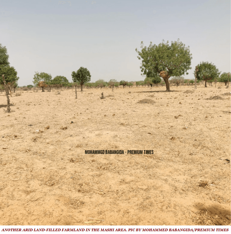
Across northern Katsina, Sahara-borne sand dunes, gullies and bare, near-vegetation-free land mark the advance of desertification – shrinking water bodies, depleting vegetation and biodiversity, and forcing communities in Jibia, Kaita, Mashi, Daura and Mani to defend their farms with windbreaks and agro-forestry. A 2004–2024 assessment found desertification risk concentrated in the northern parts of the state, where dunes form from material carried on strong dry-season winds off the Sahara. Field research in Jibia documents shrinking water bodies, depleted vegetation cover, shifting dunes and expanding bare ground. Yet the response has been slow – about three years into the shelterbelt programme, only some 28 km of belt had been established between Gurbin Baure in Jibia and Zurmi in neighbouring Zamfara.

View profile
Sand deposition and land degradation in Sokoto's northern LGAs

Sokoto State

High

Sand deposition and land degradation in Sokoto's northern LGAs

In Sokoto's far-northern LGAs bordering the Niger Republic, recurring sandstorms and advancing dunes are degrading land, silting water bodies and undermining farming, fishing and transport – with residents themselves reporting worsening sand deposition year on year. Remote-sensing of Tangaza, Gada and Illela found the Gidan Kaura dune grew by about 30 m between 2008 and 2014, and 95% of surveyed residents reported continuing sandstorms. In Gada's Gidan Jado district, 80% of respondents said the dunes harm water availability, soil fertility, transport and fishing. Communities are already adapting – some 62% of surveyed farmers in Gada now plant trees on their land and around their homes to blunt the dunes' impact.

View profile
Land degradation at the western gateway of the Great Green Wall (Kebbi)

Kebbi State

High

Land degradation at the western gateway of the Great Green Wall (Kebbi)

Kebbi anchors the western end of Nigeria's 1,500 km Great Green Wall corridor, where high temperatures, drought, overgrazing and fuelwood-driven deforestation are degrading land across Arewa, Dandi and neighbouring LGAs – now the focus of a validated land-rehabilitation project. The national greenbelt runs from Arewa Dandi LGA in Kebbi to Abadam in Borno, placing the state at the western gateway of the corridor coordinated by the NAGGW. Rising temperatures and drought linked to climate change combine with rural–urban demand for firewood and charcoal to strip the land. A 2025-validated project now targets 5,500 hectares – restoring 2,500 ha and improving land use on a further 3,000 ha – across 15 communities in five LGAs under the regional TALSISI-GGWI investment.

View profile
Niger Delta industrial pollution
DOCUMENTATION IN PROGRESS

Niger Delta

High

Niger Delta industrial pollution

Oil-related contamination and habitat disruption continue to affect mangroves, wetlands and coastal livelihoods across several states. Mangrove cover is visibly declining near pipeline corridors and estuarine settlements, while water sampling points to elevated pollutant loads in a number of riverine communities. Access to safe water and the recovery of fisheries remains uneven, keeping households that depend on the wetlands under sustained pressure.

View profile
Lake Chad hydrological decline
DOCUMENTATION IN PROGRESS

North-east Nigeria

Critical

Lake Chad hydrological decline

The lake basin has experienced long-term contraction, affecting fisheries, water availability and transboundary livelihoods. Seasonal water extent has declined under a combination of drought and rising abstraction pressures, and pastoral and fishing households report growing variability in their access to water. Because the basin is shared across borders, coordinated planning and data-sharing remain central to any lasting resilience effort.

View profile
Cross River forest loss
DOCUMENTATION IN PROGRESS

Cross River

High

Cross River forest loss

Fragmentation and logging pressure continue to reduce high-value forest habitat and connected ecological corridors. Forest edges are expanding near settlements and transport routes, and species-rich habitats remain under pressure from selective logging and land conversion. Conservation management is in place but needs stronger local implementation support to hold these losses back.

View profile
Lagos coastal erosion and flood exposure
DOCUMENTATION IN PROGRESS

Lagos coastline

High

Lagos coastal erosion and flood exposure

Increasing flood and erosion pressure is affecting low-lying coastal settlements and transport infrastructure. Repeated inundation has heightened exposure for homes and public infrastructure across coastal districts, where responses still depend on better local data and more durable shoreline management. Vulnerability remains concentrated in lower-income settlements that are least able to absorb the damage.

View profile
Northern desertification and land stress
DOCUMENTATION IN PROGRESS

Northern Nigeria

Moderate

Northern desertification and land stress

Dryland degradation is increasing pressure on grazing lands, crop systems and water access in several states. Vegetative cover is declining and exposure to wind-driven soil loss is growing, forcing livestock keepers and smallholder farmers to adapt under greater climate variability. Support for restoration and soil-moisture management remains limited relative to the scale of the need.

View profile