Kebbi State
Land degradation at the western gateway of the Great Green Wall (Kebbi)
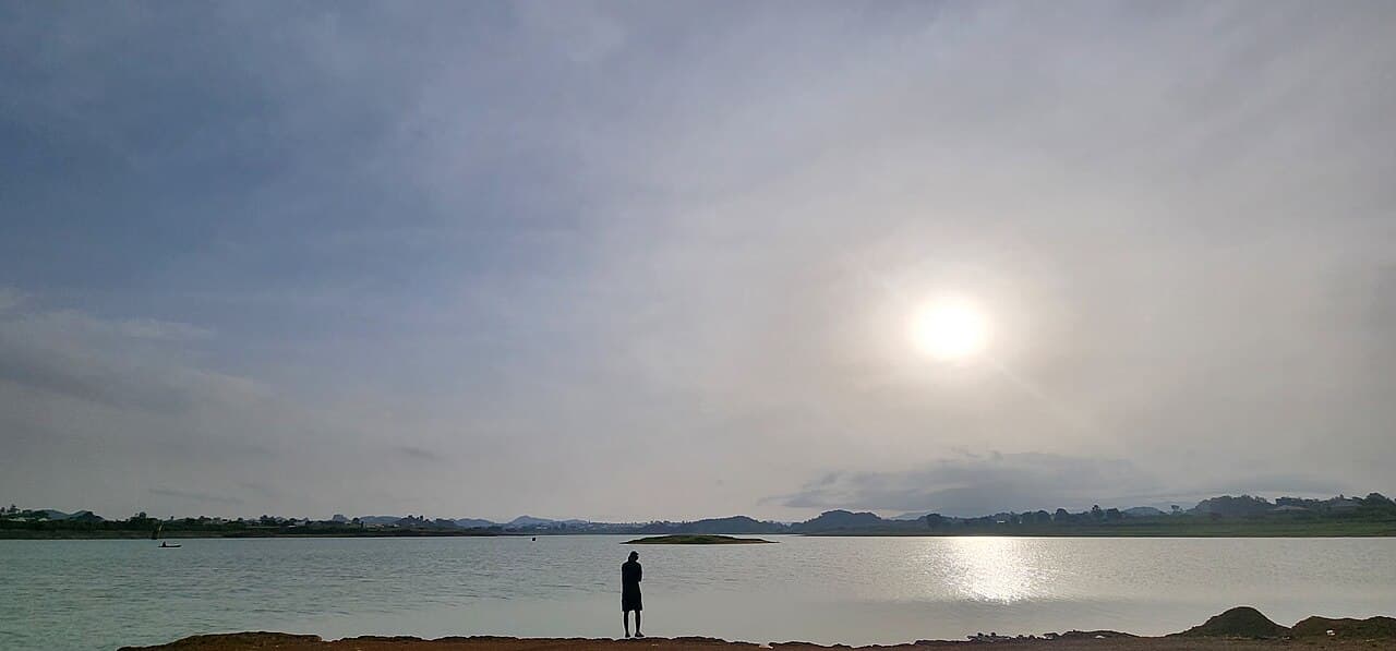
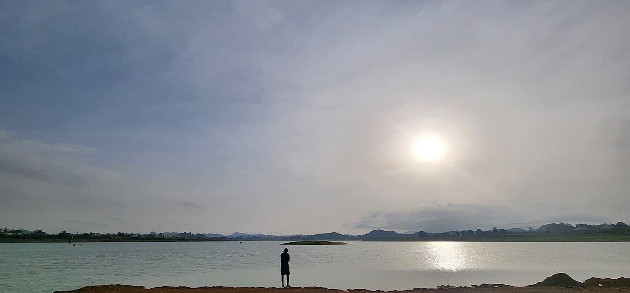
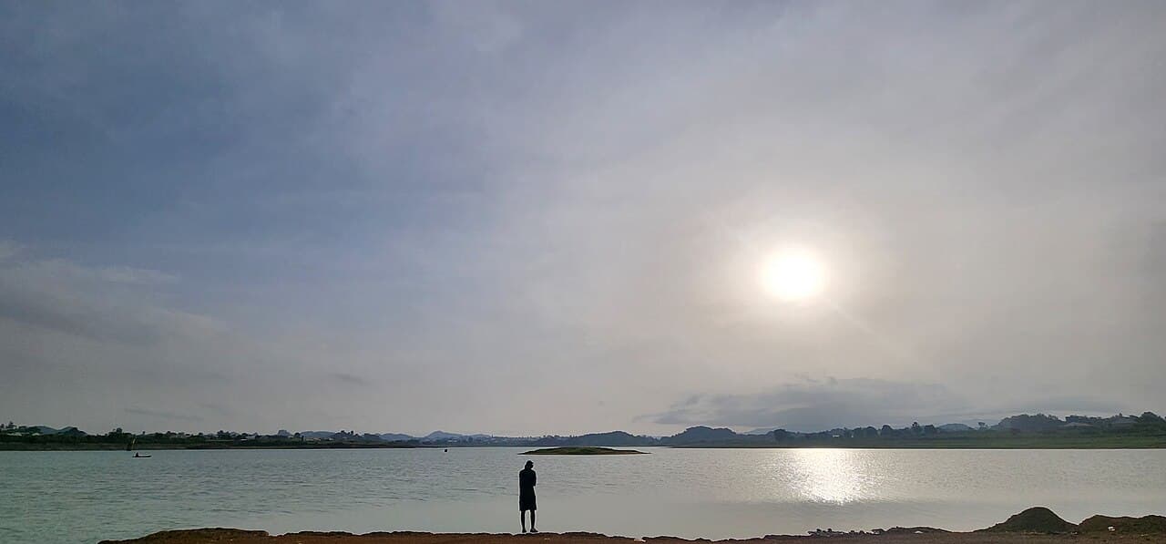
Kebbi anchors the western end of Nigeria's 1,500 km Great Green Wall corridor, where high temperatures, drought, overgrazing and fuelwood-driven deforestation are degrading land across Arewa, Dandi and neighbouring LGAs – now the focus of a validated land-rehabilitation project. The national greenbelt runs from Arewa Dandi LGA in Kebbi to Abadam in Borno, placing the state at the western gateway of the corridor coordinated by the NAGGW. Rising temperatures and drought linked to climate change combine with rural–urban demand for firewood and charcoal to strip the land. A 2025-validated project now targets 5,500 hectares – restoring 2,500 ha and improving land use on a further 3,000 ha – across 15 communities in five LGAs under the regional TALSISI-GGWI investment.
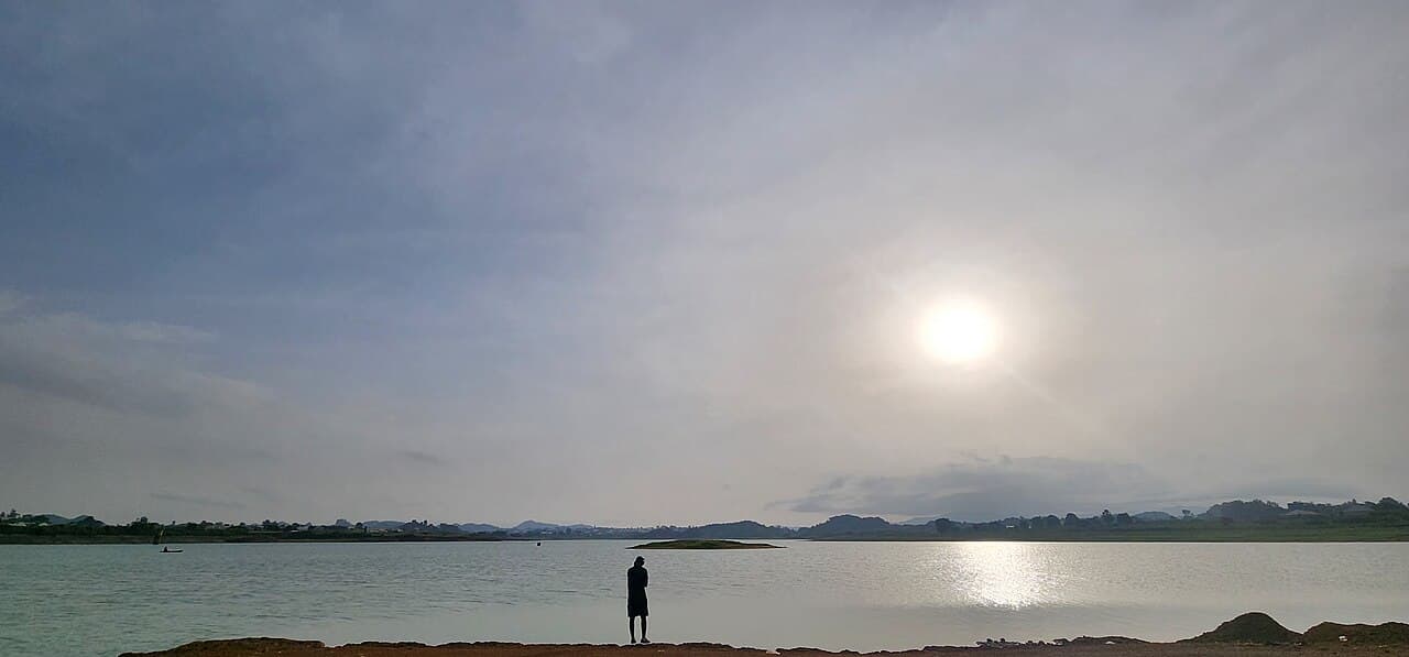
Evidence and current condition
- Nigeria's Great Green Wall greenbelt runs 1,500 km from Arewa Dandi LGA in Kebbi to Abadam LGA in Borno, placing Kebbi at the western gateway of the national corridor.
- The NAGGW, established in May 2015 under Act No. 3, coordinates restoration of degraded land and desert-encroachment control across the 11 frontline states from Kebbi eastward.
- Key drivers in Kebbi include high temperatures and drought linked to climate change, plus overgrazing and deforestation feeding rural–urban demand for fuelwood and charcoal.
- A 2025-validated land-rehabilitation project targets 5,500 hectares – restoring 2,500 ha and improving land use on 3,000 ha of protected landscapes across 15 communities.
- That project spans five LGAs – Arewa, Augie, Argungu, Bunza and Dandi – under the regional TALSISI-GGWI investment approved by the GEF Council in June 2024.
Coordinates
| Area | Latitude | Longitude | Neighborhood |
|---|---|---|---|
| Arewa (Dandi) | 12.9330° | 3.7000° | Western terminus of Nigeria's Great Green Wall |
| Dandi | 11.7830° | 3.6670° | Frontline restoration LGA |
| Argungu | 12.7450° | 4.5250° | Rima valley farming belt |
| Bunza | 12.0830° | 4.0170° | IDERRCN project community |
Required interventions
- The IDERRCN land-rehabilitation project (validated 2025) restoring 5,500 ha across 15 communities in five Kebbi LGAs, submitted to the GEF Secretariat under TALSISI-GGWI.
- NAGGW-coordinated shelterbelt development, afforestation and desert-encroachment control along the western corridor.
- The World Bank-supported ACReSAL programme for semi-arid landscape restoration in Kebbi.
- Distribution of date palm and assorted seedlings under the NAGGW 50 million date palm programme across the frontline states.
- FAO- and EU-backed technical support and regional study tours (Senegal and Mauritania, January 2026) to transfer land-restoration know-how to northern states.
Additional proof sources
- 1. New National Star – “IDERRCN: Stakeholders validate land rehabilitation project in Kebbi”.
https://newnationalstar.com/iderrcn-stakeholders-validate-3m-land-rehabilitation-project-in-kebbi/ - 2. ACReSAL – Kebbi State programme page (environmental challenges and scope).
https://acresal.gov.ng/states/kebbi/
Funding and support needed
Documentation is being prepared for implementation support and community participation.
Covers: Land restoration across the five project LGAs, protected-landscape management, seedling nurseries and community livelihood support
Potential funding partners
Institutions aligned with this work
These are potential alignment examples, not confirmed funding commitments. Partner documentation will be updated as conversations progress.
How others can help
- • Donate to support field documentation, community workshops and restoration work.
- • Partner with the project for research collaboration and knowledge exchange.
- • Volunteer for data review, outreach or event support where available.