Sokoto State
Sand deposition and land degradation in Sokoto's northern LGAs
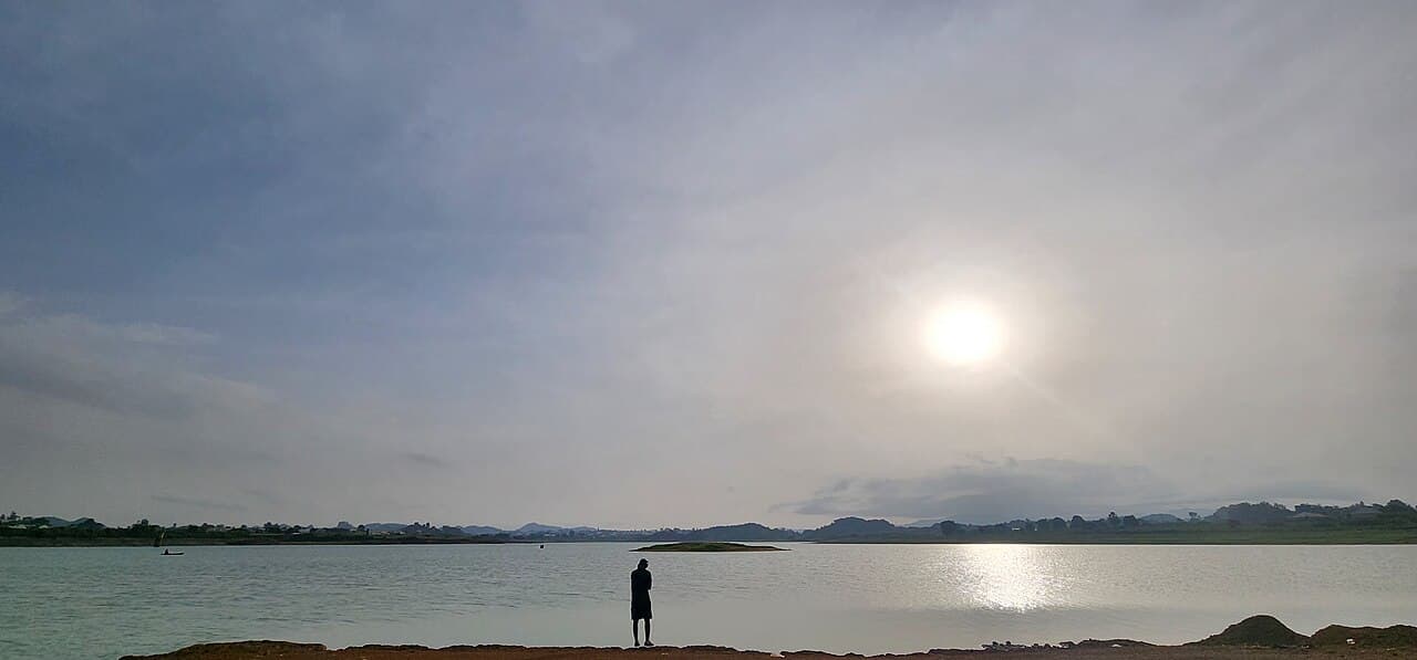
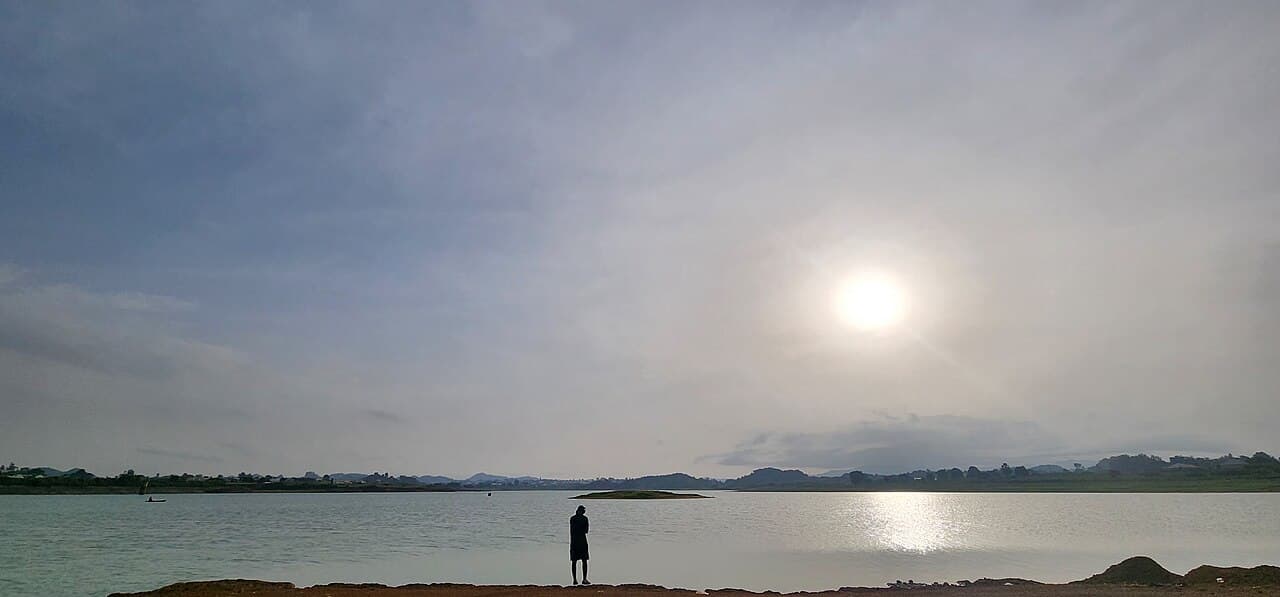
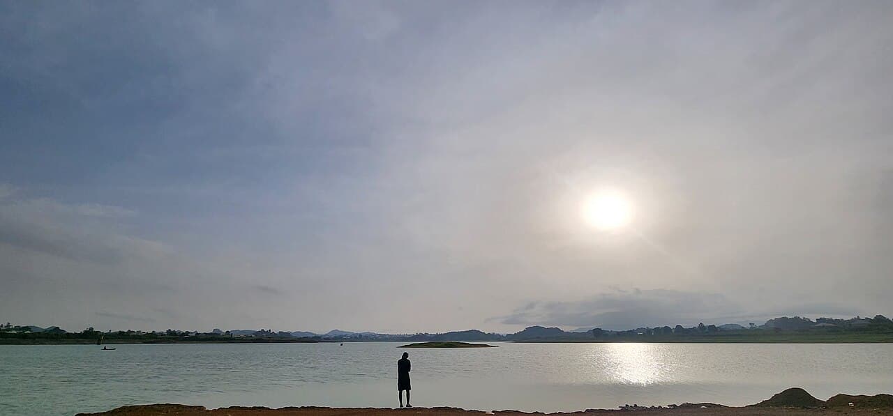
In Sokoto's far-northern LGAs bordering the Niger Republic, recurring sandstorms and advancing dunes are degrading land, silting water bodies and undermining farming, fishing and transport – with residents themselves reporting worsening sand deposition year on year. Remote-sensing of Tangaza, Gada and Illela found the Gidan Kaura dune grew by about 30 m between 2008 and 2014, and 95% of surveyed residents reported continuing sandstorms. In Gada's Gidan Jado district, 80% of respondents said the dunes harm water availability, soil fertility, transport and fishing. Communities are already adapting – some 62% of surveyed farmers in Gada now plant trees on their land and around their homes to blunt the dunes' impact.
Evidence and current condition
- ACReSAL identifies Sokoto's core challenges as land degradation, deforestation, desertification, depletion of water resources, low agricultural yields and siltation of water bodies.
- Remote-sensing of Tangaza, Gada and Illela found the Gidan Kaura dune grew by about 30 m between 2008 and 2014, with 95% of surveyed residents reporting continued sandstorms and sand deposition.
- In Gada's Gidan Jado district, 80% of respondents agreed sand dunes harm water availability, soil fertility, transport and fishing – a direct threat to livelihood security.
- Sokoto is one of Nigeria's 11 Great Green Wall frontline states within the 1,500 km northern green-belt corridor.
- Community response is already local: 62% of surveyed farmers in Gada plant trees on their farmland and homes to blunt the impact of the dunes.
Coordinates
| Area | Latitude | Longitude | Neighborhood |
|---|---|---|---|
| Gada | 13.7570° | 5.6640° | Niger-border LGA – sand deposition |
| Illela | 13.7290° | 5.2960° | Frontline dune belt |
| Goronyo | 13.4370° | 5.6740° | Reservoir siltation risk |
| Tangaza | 13.6120° | 4.9080° | Gidan Kaura dune growth |
Required interventions
- The 2024 state initiative to plant one million trees, launched from Government House and replicated across all 23 LGAs to combat soil erosion, recharge groundwater and improve air quality.
- A 2025 state tree-planting campaign distributing over 500,000 seedlings, with nursery centres including Gundunga, Goronyo town and Sanyinna.
- Great Green Wall shelterbelt and afforestation work through NAGGW across frontline LGAs.
- The World Bank-supported ACReSAL programme for semi-arid landscape restoration and water-resource protection.
- Roadside shelterbelt planting along the Sokoto–Badagry highway (2026) to act as windbreaks against desert encroachment.
Additional proof sources
- 1. Sokoto State Government – “Gov. Aliyu Flags Off 2025 Tree Planting Campaign in Sokoto”.
https://sokotostate.gov.ng/gov-aliyu-flags-off-2025-tree-planting-campaign-in-sokoto/ - 2. Daily Trust – “Desertification: Sokoto gov launches 1m tree-planting initiative”.
https://dailytrust.com/desertification-sokoto-gov-launches-1m-tree-planting-initiative/
Funding and support needed
Documentation is being prepared for implementation support and community participation.
Covers: Dune-front stabilisation, reservoir de-siltation, community woodlots and seedling nurseries across northern frontline LGAs
Potential funding partners
Institutions aligned with this work
These are potential alignment examples, not confirmed funding commitments. Partner documentation will be updated as conversations progress.
How others can help
- • Donate to support field documentation, community workshops and restoration work.
- • Partner with the project for research collaboration and knowledge exchange.
- • Volunteer for data review, outreach or event support where available.